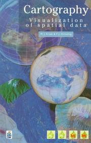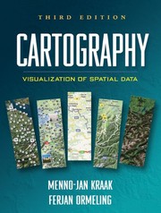
Cartography
M. J. Kraak · 2011
איפה לקנות
בדקו את המחיר העדכני באמזון. אנחנו לא מציגים מחירים כי הם משתנים מדי יום.
לצפייה באמזוןקישור שותפים. בתור שותפים של Amazon אנחנו מרוויחים מרכישות מתאימות.
על הספר
"This up-to-date book reflects the latest trends in dynamic mapping and geovisualization. Kraak and Ormeling present a through, current discussion of principles and best practies for visualization of spatial data. They explain cartographic theory and provide examples of relevant applications. This is a valuable resource for students new to using GIS for spatial data visualization, as well as for more advanced cartographers interested in furthering their knowledge of principles of dynamic geovisualization design."--Sarah Battersby, Department of Geography, University of South Carolina -- "The third edition of this popular text adds exciting new material, reflecting significant recent changes in cartography. These include the rapid growth of personal location-based services, the launch of Google Earth and Google Maps and their competitors, and the advances that have been made in the science of geovisualization. Maps are now a standard part of everyone's digital world and essential accessories to modern life. This book will be invaluable as a classroom text and professional resource."--Michael F. Goodchild, Department of Geography, University of California, Santa Barbara -- "This text presents technology and mapping concepts as one integral whole to help students navigate the complex world of contemporary multimedia. Kraak and Ormeling are experienced practitioners who go beyond cartographic basics to explain the fundamentals of spatial data serving online, spatial analysis, and animation. This is an excellent text for an upper-level class in geovisualization or multimedia."--Margaret W. Pearce, Department of Geography, University of Kansas -- "The authors have been careful to present to the reader not only a basic understanding of what cartography is but how geospatial data and maps are so integral to many of the disciplines that utilize specific technologies, such as GIS and the WWW, to communicate information....Most chapters include as many pages of graphics as they do text, which is a great benefit to the novice reader."--Applied Spatial Analysis and Policy -- Integrating cutting-edge technology with traditional cartographic principles, this text provides a framework for effectively visualizing and analyzing geospatial data. It gives students critical concepts and methods for harnessing the enormous amount of geospatial data available on the Internet and creating maps that can support real-world decision making. The third edition incorporates current dev
פרטי הספר
- שנה
- 2011
- שפה
- English
- הוצאה
- Guilford Press
- מהדורות
- 1
- עמודים
- 198
- ISBN
- 9781609181932
מקור הנתונים: Wikidata