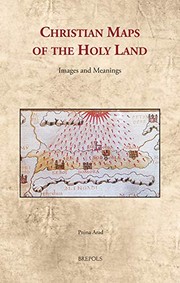
Christian Maps of the Holy Land
Pnina Arad · 2020
על הספר
"This book offers a way of reading maps of the Holy Land as visual imagery with religious connotations. Through a corpus of representative examples created between the sixth and the nineteenth centuries, it studies the maps as iconic imagery of an iconic landscape and analyses their strategies to manifest the spiritual quality of the biblical topography, to support religious tenets, and to construct and preserve cultural memory. Maps of the Holy Land have thus far been studied with methodologies such as cartography and historical geography, while the main question addressed was the reliability of the maps as cartographic documents. Through another perspective and using the methodology of visual studies, this book reveals that maps of the Holy Land constructed religious messages and were significant instruments through which different Christian cultures (Byzantine, Catholic, Protestant, and Greek Orthodox) shaped their religious identities. It does not seek to ascertain how the maps delivered geographical information, but rather how they utilized the geographical information in formulating religious and cultural values. Through its examination of maps of the Holy Land, this book thus explores both Christian visual culture and Christian spirituality throughout the centuries"--
פרטי הספר
- שנה
- 2020
- שפה
- English
- הוצאה
- Brepols Publishers
- מהדורות
- 1
- עמודים
- 200
- ISBN
- 9782503585260
מקור הנתונים: Wikidata