Looking at MapsMoira Anderson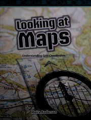
Looking at Maps
Moira Anderson · 2008
איפה לקנות
בדקו את המחיר העדכני באמזון. אנחנו לא מציגים מחירים כי הם משתנים מדי יום.
לצפייה באמזוןקישור שותפים. בתור שותפים של Amazon אנחנו מרוויחים מרכישות מתאימות.
על הספר
Maps show us where things are in the world with abstract pictures of what is in view. Many maps have grid coordinates that make it easier to locate where something is. A vertical grid line is known as longitude and a horizontal line is known as latitude. Symbols and keys are important parts of maps. A scale helps us know how far apart things are from each other in real life. Compasses also help us know the direction on a map. There are many different types of maps, such as street maps, tourist maps, population maps, and land-use maps.
פרטי הספר
- שנה
- 2008
- שפה
- English
- סדרה
- Level 4 (Mathematics Readers)
- הוצאה
- Shell Education
- מהדורות
- 1
- עמודים
- 18
- ISBN
- 9781433391507
מקור הנתונים: Wikidata
עוד של Moira Anderson
Grid coordinates by land, air, and seaMoira Anderson
Grid coordinates by land, air, and sea
Moira Anderson · 2010
Using 3-D shapes to build housesMoira Anderson
Using 3-D shapes to build houses
Moira Anderson · 2010
Red (Finding Colors)Moira Anderson
Red (Finding Colors)
Moira Anderson · 2005
YellowMoira Anderson
Yellow
Moira Anderson · 2005
Green (Finding Colors)Moira Anderson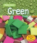
Green (Finding Colors)
Moira Anderson · 2005
Blue (Finding Colors)Moira Anderson
Blue (Finding Colors)
Moira Anderson · 2005
Yellow (Finding Colors)Moira Anderson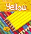
Yellow (Finding Colors)
Moira Anderson · 2005
RedMoira Anderson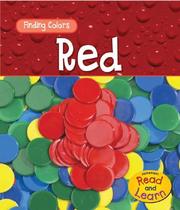
Red
Moira Anderson · 2005
BlueMoira Anderson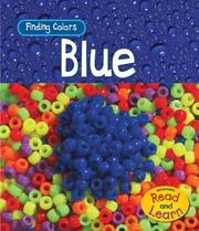
Blue
Moira Anderson · 2005
GreenMoira Anderson
Green
Moira Anderson · 2005