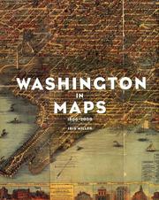
Washington in Maps
Iris Miller · 2002
איפה לקנות
בדקו את המחיר העדכני באמזון. אנחנו לא מציגים מחירים כי הם משתנים מדי יום.
לצפייה באמזוןקישור שותפים. בתור שותפים של Amazon אנחנו מרוויחים מרכישות מתאימות.
על הספר
"Washington in Maps features, in full color, over 100 maps, dating from the seventeenth century to the present, featuring the most splendid antique maps of Washington - to the satellite imagery of today. Included are maps by Thomas Jefferson and Pierre Charles L'Enfant, the man upon whose design modern Washington now stands; a map by Captain John Smith from 1608; and maps by the Senate Park (McMillan) Commission, among many others.". "Maps detail both the current reality of the place and, as well, offer imaginative renderings of future possibility, in the process often becoming something of extraordinary beauty in their own right. Washington in Maps charts a course through this terrain and serves as a testament to the wonder, artistry, and intelligence that these maps manifest."--BOOK JACKET.
פרטי הספר
- שנה
- 2002
- שפה
- English
- הוצאה
- Rizzoli International Publications
- מהדורות
- 1
- עמודים
- 176
- ISBN
- 9780847824472
מקור הנתונים: Wikidata