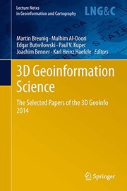
3D Geoinformation Science
Martin Breunig, Mulhim Al-Doori, Edgar Butwilowski, Paul V. Kuper · 2014
Where to buy
Amazon’s price changes daily, so the most accurate place to see it is there, at the moment you buy.
View on AmazonThis is an affiliate link: if you buy through it, the site earns a small commission at no extra cost to you, which helps us bring quality content and maintain the site. As an Amazon Associate we earn from qualifying purchases.
About the book
Nowadays 3D Geoinformation is needed for many planning and analysis tasks. For example, 3D city and infrastructure models are paving the way for complex environmental and noise analyzes. 3D geological sub-surface models are needed for reservoir exploration in the oil-, gas-, and geothermal industry. Thus 3D Geoinformation brings together researchers and practitioners from different fields such as the geo-sciences, civil engineering, 3D city modeling, 3D geological and geophysical modeling, and, last but not least, computer science. The diverse challenges of 3D Geoinformation Science concern new approaches and the development of standards for above- and under-ground 3D modeling, efficient 3D data management, visualization and analysis. Finally, the integration of different 3D approaches and data models is seen as one of the most important challenges to be solved.
Book details
- Year
- 2014
- Language
- English
- Publisher
- Springer
- Editions
- 3
- Pages
- 258
- ISBN
- 9783319121819
Data source: Wikidata