Author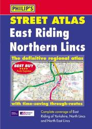
East Riding and Northern Lincolnshire
Author · 2002
Where to buy
Amazon’s price changes daily, so the most accurate place to see it is there, at the moment you buy.
View on AmazonAbout the book
This atlas has a scale of 3 inches to a mile with less densely populated areas at 7 inches to a mile. It features a route-planning map and shows every named road, with through-routes highlighted.
Book details
- Year
- 2002
- Publisher
- Philip's
- Editions
- 1
- Pages
- 256
- ISBN
- 9780540081462
Data source: Wikidata
More by Author
Author
The Boy in the Snow
Author · 2012
Author
Sweet
Author · 2011
Author
The original Summer Bridge Activities
Author · 2010
Author
Vynut dyavola iz melochey
Author · 2016
Author
Ovoshchnye i vegetarianskie bli͡uda
Author · 2011
Author
Britain
Author · 2006
Author
Harry Potter The Artifact Vault
Author · 2016
Author
ICD-10-CM
Author · 2013
Author
Our Discovery Island Level 5 Active Teach
Author · 2012
Author
Islands Level 1 Active Teach
Author · 2012