National Geospatial-Intelligence Agency (U.S.)
Rapid Sight Reduction Tables Volume 2
Where to buy
Amazon’s price changes daily, so the most accurate place to see it is there, at the moment you buy.
View on AmazonBook details
- Year
- 2013
- Language
- English
- Publisher
- CreateSpace Independent Publishing Platform
- Editions
- 1
- Pages
- 264
- ISBN
- 9781484830376
Data source: Wikidata
More by National Geospatial-Intelligence Agency (U.S.)
National Geospatial-Intelligence Agency (U.S.)
List of Lights, Radio Aids and Fog Signals, 2005 (Pub. 115): Norway, Iceland, and Arctic Ocean (List of Lights, Radio Aids and Fog Signals)
National Geospatial-Intelligence Agency (U.S.) · 2005
National Geospatial-Intelligence Agency (U.S.)
List of Lights, Radio Aids, and Fog Signals, 2005 (Pub. 113): The West Coasts of Europe and Africa, the Mediterranean Sea, Black Sea, and Azovskoye More ... (List of Lights, Radio Aids and Fog Signals)
National Geospatial-Intelligence Agency (U.S.) · 2005
National Geospatial-Intelligence Agency (U.S.)
List of Lights, Radio Aids and Fog Signals, 2005 (Pub. 111): West Coasts of North and South America, Australia, Tasmania, New Zealand, and the Islands ... (List of Lights, Radio Aids and Fog Signals)
National Geospatial-Intelligence Agency (U.S.) · 2005
National Geospatial-Intelligence Agency (U.S.)
PUB174 Sailing Directions
National Geospatial-Intelligence Agency (U.S.) · 2005
National Geospatial-Intelligence Agency (U.S.)
PUB180 Sailing Directions
National Geospatial-Intelligence Agency (U.S.) · 2005
National Geospatial-Intelligence Agency (U.S.)
PUB164 Sailing Directions
National Geospatial-Intelligence Agency (U.S.) · 2005
National Geospatial-Intelligence Agency (U.S.)
List of Lights, Radio Aids and Fog Signals, 2004 (Pub. 112): Western Pacific and Indian Oceans Including the Persian Gulf and Red Sea (List of Lights, Radio Aids and Fog Signals)
National Geospatial-Intelligence Agency (U.S.) · 2004
National Geospatial-Intelligence Agency (U.S.)
PUB123 Sailing Directions
National Geospatial-Intelligence Agency (U.S.) · 2004
National Geospatial-Intelligence Agency (U.S.)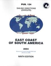
PUB124 Sailing Directions
National Geospatial-Intelligence Agency (U.S.) · 2004
National Geospatial-Intelligence Agency (U.S.)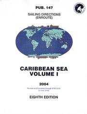
PUB147, 2004 Sailing Directions
National Geospatial-Intelligence Agency (U.S.) · 2004